Computer Vision Project

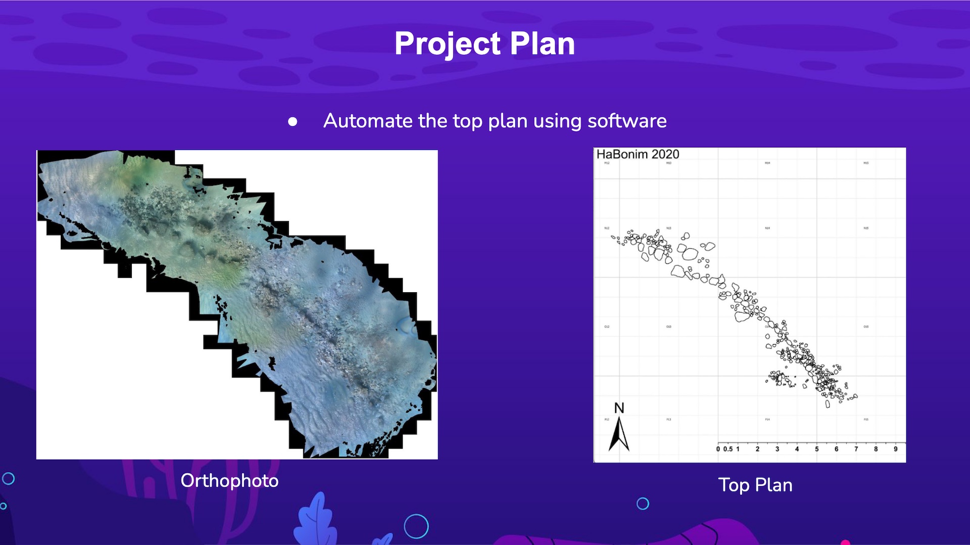
The goal of this project was to create a program to scan underwater digital terrain of archaeology sites and return a map of all significant objects, also known as a top plan. Here you can see a picture of the ortho photo to the left and a hand drawn top plan to the right. To see how I automated this process with OpenCV, check out my github repo linked above the image.
Through the use of OpenCV and other tools, I used computer vision tecniques to scan underwater terrains and highlight all significant objects that weren’t the ocean floor. Normally, this is a slow tedious process done by hand by trained archeologists. With my program, now all you have to do is input an ortho photo and it will return an accurate top plan back instantly. This saves time, money, and makes archeologists job that much easier.
